MCNP Historic GIS Research |
||
For several years, Dr, Katie Algeo, Associate Professor of Geography at Western Kentucky University, has conducted research on the pre-park residents and communities of the Mammoth Cave National Park (MCNP) area in south central Kentucky. One component to this research is an internet based Historic GIS (Geographic Information System) project to help document and preserve the lives and memories of this area's many displaced residents and their descendants (Article describing the research to-date soon to be published in International Journal of Applied Geospatial Research).
The first phase of establishing the HGIS project was undertaken by WKU graduate student Matthew Brunt. Mr. Brunt's research developed a methodology using the 1920 manuscript census data to link to house locations as provided by an earlier MCNP archeology project. This produced a GIS layer of known residents of certain houses on the map, along with a better understanding of the area’s demographics at that time. (link to Brunt's thesis http://digitalcommons.wku.edu/cgi/viewcontent.cgi?article=1132&context=theses?)
The next phase of the HGIS project conducted by WKU graduate student Ann Epperson established an internet-enabled publicly accessible HGIS website. Hundreds of photos and notes of this area were compared to property records and when a match was found it was linked to the property on the map. The result is an interactive website for education and interpretation of this area prior to the formation of MCNP that will also allow for the public to participate in the documentation and research. Ms. Epperson's research won two prestigious awards: the 2010 WKU Student Research Conference Award for Best Graduate Papers, Social Sciences; and the 2011 Association of American Geographers Cultural Geography Specialty Group Award for best student paper at the Master's level! (link to Epperson's thesis: http://digitalcommons.wku.edu/theses/227/ )
Much more work needs to be done! In the future researchers would like to expand this website to include images of letters and diaries, audio recordings of interviews, and many more photographs linked to the residents and property owners of this area.
If you have information that you think might be helpful in adding to the research effort, please contact Dr. Algeo (found on the home page of this website.) |
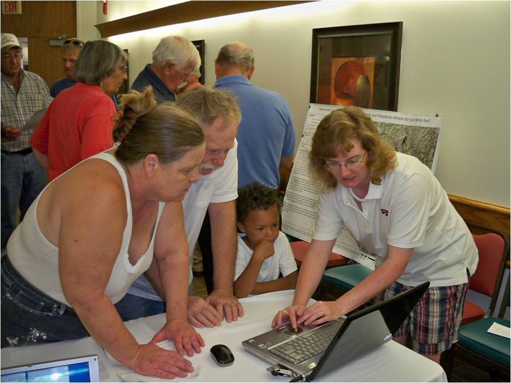 2009 Annual Homecoming at MCNP, demonstrating the pilot internet HGIS project to the families in attendance. 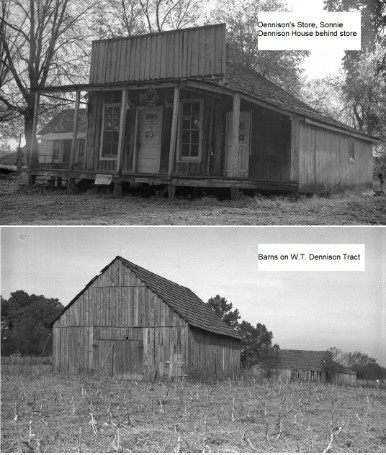 Examples of archived photos from the Mammoth Cave National Park archives matched to properties in the GIS. |
|
Make a Free Website with Yola.